The Dog and the A68 "Coal" Road
Introduction
The photograph on this page of The Dog and the A68 "Coal" Road by Mick Garratt as part of the Geograph project.
The Geograph project started in 2005 with the aim of publishing, organising and preserving representative images for every square kilometre of Great Britain, Ireland and the Isle of Man.

There are currently over 7.5m images from over 14,400 individuals and you can help contribute to the project by visiting https://www.geograph.org.uk
The Dog and the A68 "Coal" Road
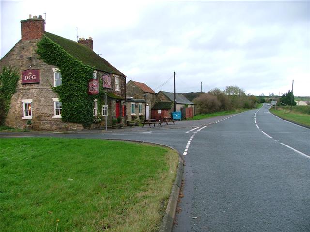
Image: © Mick Garratt Taken: 6 Nov 2005
The A68 was the traditionally route of the pack horses carrying coal from the coalfields of Durham to the port at Stockton on Tees. This was before the Darlington and Stockton Railway was built the early 19th century.
Images are licensed for reuse under creativecommons.org/licenses/by-sa/2.0
Image Location


Leaflet Map data © OpenStreetMap
Latitude
54.584544
Longitude
-1.633262