Gore Farm Close
Introduction
The photograph on this page of Gore Farm Close by David M Clark as part of the Geograph project.
The Geograph project started in 2005 with the aim of publishing, organising and preserving representative images for every square kilometre of Great Britain, Ireland and the Isle of Man.

There are currently over 7.5m images from over 14,400 individuals and you can help contribute to the project by visiting https://www.geograph.org.uk
Gore Farm Close
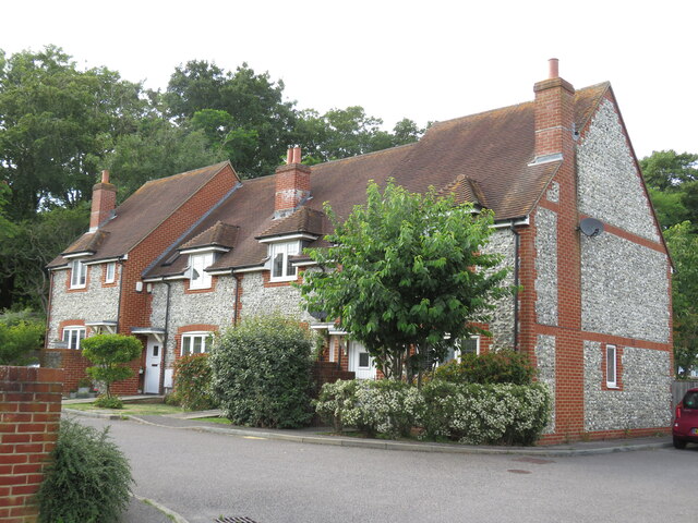
Image: © David M Clark Taken: 18 Jul 2023
Cluster of ten cottages built in the vernacular tradition, close to the shops and a remarkably frequent bus service.
Images are licensed for reuse under creativecommons.org/licenses/by-sa/2.0
Image Location
Latitude
50.760586
Longitude
0.20809