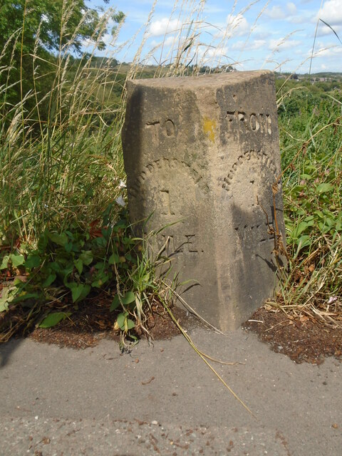
Old milestone
Introduction
The photograph on this page of Old milestone by Chris Minto as part of the Geograph project.
The Geograph project started in 2005 with the aim of publishing, organising and preserving representative images for every square kilometre of Great Britain, Ireland and the Isle of Man.
There are currently over 7.5m images from over 14,400 individuals and you can help contribute to the project by visiting https://www.geograph.org.uk

Image: © Chris Minto Taken: 16 Jul 2023
This Grid square has two TO and FROM milestones in it. This stone is on the A629 Edgerton Road and is almost opposite Luther Place. At 1 mile from the town centre this was the first milestone set up on this route out of Huddersfield by the Town Watch Committee in the late 19C to regulate Hansom Cab Fare-stages. Further stones were set at ½ mile intervals to the town boundary. Left face - TO/HUDDERSFIELD/1/MILE. Right face - FROM/HUDDERSFIELD/1 MILE. This stone has also been used by the OS as there is a cut benchmarck on the bevel

