Path on reclaimed land
Introduction
The photograph on this page of Path on reclaimed land by Kevin Waterhouse as part of the Geograph project.
The Geograph project started in 2005 with the aim of publishing, organising and preserving representative images for every square kilometre of Great Britain, Ireland and the Isle of Man.

There are currently over 7.5m images from over 14,400 individuals and you can help contribute to the project by visiting https://www.geograph.org.uk
Path on reclaimed land
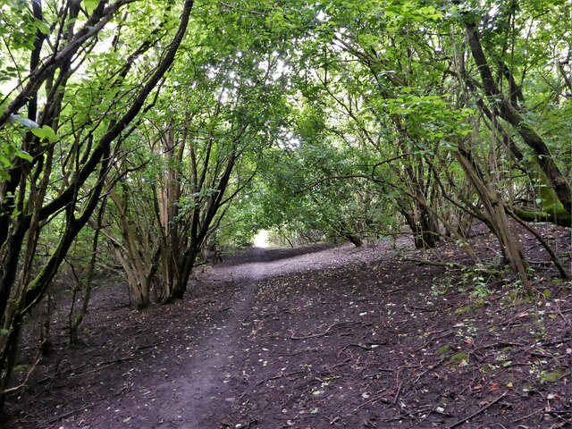
Image: © Kevin Waterhouse Taken: 12 Jul 2023
The public footpath should follow the route of the former Cliveley Road but has shifted with railway and industrial developments and then subsequent land reclamation. To the left of this view is probably a buried railway cutting & tunnel entrance.
Images are licensed for reuse under creativecommons.org/licenses/by-sa/2.0
Image Location
Latitude
53.512909
Longitude
-2.317239