Staffordshire and Worcestershire Canal near Caunsall in Worcestershire
Introduction
The photograph on this page of Staffordshire and Worcestershire Canal near Caunsall in Worcestershire by Roger Kidd as part of the Geograph project.
The Geograph project started in 2005 with the aim of publishing, organising and preserving representative images for every square kilometre of Great Britain, Ireland and the Isle of Man.

There are currently over 7.5m images from over 14,400 individuals and you can help contribute to the project by visiting https://www.geograph.org.uk
Staffordshire and Worcestershire Canal near Caunsall in Worcestershire
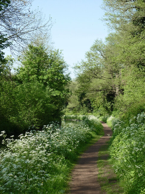
Image: © Roger Kidd Taken: 16 May 2014
Looking south-west from near Caunsall Bridge (No 26) as the canal meanders towards Cookley, Kidderminster and Stourport. Sustrans Route 54 for cyclists passes along the towpath here. https://www.sustrans.org.uk/find-a-route-on-the-national-cycle-network/route-54/
Images are licensed for reuse under creativecommons.org/licenses/by-sa/2.0
Image Location
Latitude
52.425437
Longitude
-2.21628