Farmland and woodland around Ardley Stobb
Introduction
The photograph on this page of Farmland and woodland around Ardley Stobb by Mike Quinn as part of the Geograph project.
The Geograph project started in 2005 with the aim of publishing, organising and preserving representative images for every square kilometre of Great Britain, Ireland and the Isle of Man.

There are currently over 7.5m images from over 14,400 individuals and you can help contribute to the project by visiting https://www.geograph.org.uk
Farmland and woodland around Ardley Stobb
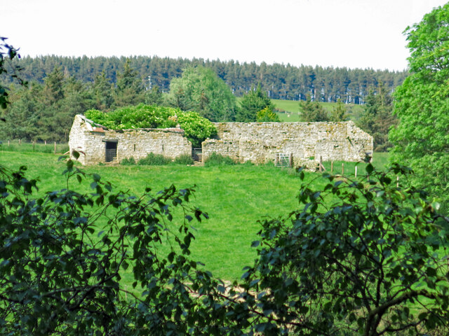
Image: © Mike Quinn Taken: 12 Jun 2023
A long-abandoned farmhouse high above the Ham Burn, west of Low Ardley. There's been further deterioration since 2009 - see Image (photographed by Peter McDermott).
Images are licensed for reuse under creativecommons.org/licenses/by-sa/2.0
Image Location
Latitude
54.923076
Longitude
-2.152561