Dead End Path
Introduction
The photograph on this page of Dead End Path by Glyn Baker as part of the Geograph project.
The Geograph project started in 2005 with the aim of publishing, organising and preserving representative images for every square kilometre of Great Britain, Ireland and the Isle of Man.

There are currently over 7.5m images from over 14,400 individuals and you can help contribute to the project by visiting https://www.geograph.org.uk
Dead End Path
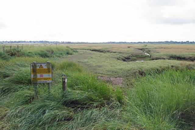
Image: © Glyn Baker Taken: 13 Jul 2023
Judging by the well worn trail most people seem to think the path runs along the sea wall to the left. However the right of way follows the right hand side of the "fleet" that is in front of the camera unless you intend to get very muddy see Image
Images are licensed for reuse under creativecommons.org/licenses/by-sa/2.0
Image Location
Latitude
51.808939
Longitude
1.041236