The McKillop Institute
Introduction
The photograph on this page of The McKillop Institute by Richard Sutcliffe as part of the Geograph project.
The Geograph project started in 2005 with the aim of publishing, organising and preserving representative images for every square kilometre of Great Britain, Ireland and the Isle of Man.

There are currently over 7.5m images from over 14,400 individuals and you can help contribute to the project by visiting https://www.geograph.org.uk
The McKillop Institute
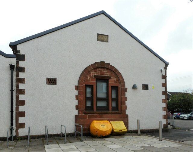
Image: © Richard Sutcliffe Taken: 7 Jul 2023
The gable end of the building, facing Calder Street. The building has a date stone for 1930, but it also has what appears to be a 19th century carved Masonic plaque inserted into the wall.
Images are licensed for reuse under creativecommons.org/licenses/by-sa/2.0
Image Location
Latitude
55.794854
Longitude
-4.630154