Lane from golf course up to Military Road
Introduction
The photograph on this page of Lane from golf course up to Military Road by M J Roscoe as part of the Geograph project.
The Geograph project started in 2005 with the aim of publishing, organising and preserving representative images for every square kilometre of Great Britain, Ireland and the Isle of Man.

There are currently over 7.5m images from over 14,400 individuals and you can help contribute to the project by visiting https://www.geograph.org.uk
Lane from golf course up to Military Road
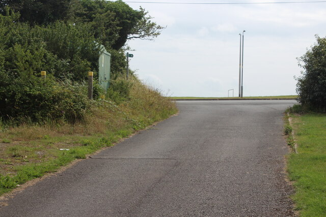
Image: © M J Roscoe Taken: 13 Jul 2023
The lane carries a public footpath; a sign indicates that the path goes between the overgrown posts with yellow tops.
Images are licensed for reuse under creativecommons.org/licenses/by-sa/2.0
Image Location
Latitude
51.686622
Longitude
-4.959714