Lock House near Cookley taken from the field side
Introduction
The photograph on this page of Lock House near Cookley taken from the field side by Jeff Gogarty as part of the Geograph project.
The Geograph project started in 2005 with the aim of publishing, organising and preserving representative images for every square kilometre of Great Britain, Ireland and the Isle of Man.

There are currently over 7.5m images from over 14,400 individuals and you can help contribute to the project by visiting https://www.geograph.org.uk
Lock House near Cookley taken from the field side
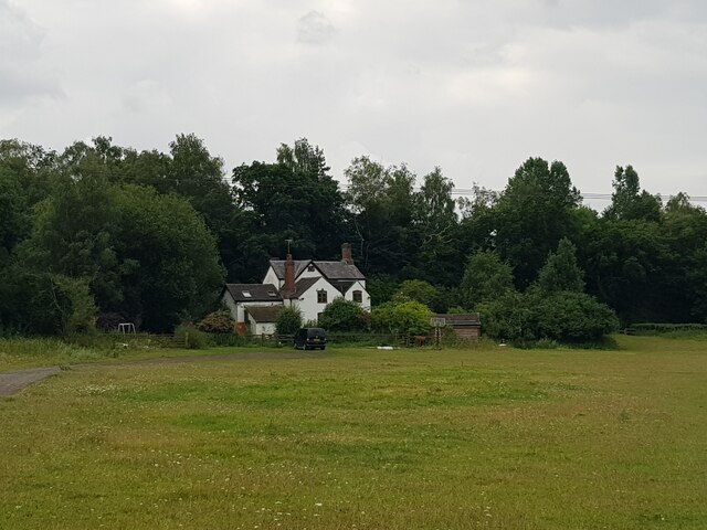
Image: © Jeff Gogarty Taken: 13 Jul 2023
Former lock keeper cottage for Debdale Lock, Staffs and Worcs Canal.
Images are licensed for reuse under creativecommons.org/licenses/by-sa/2.0
Image Location
Latitude
52.419646
Longitude
-2.236249