Field edge path at Gaunts
Introduction
The photograph on this page of Field edge path at Gaunts by David Martin as part of the Geograph project.
The Geograph project started in 2005 with the aim of publishing, organising and preserving representative images for every square kilometre of Great Britain, Ireland and the Isle of Man.

There are currently over 7.5m images from over 14,400 individuals and you can help contribute to the project by visiting https://www.geograph.org.uk
Field edge path at Gaunts
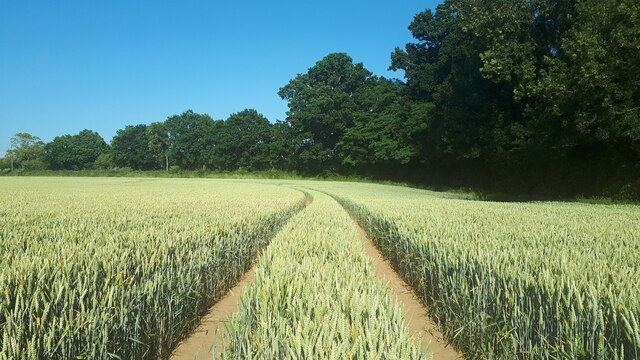
Image: © David Martin Taken: 25 Jun 2023
The walkable path follows these tractor tracks parallel to the edge rather than the straight route marked on the OS map.
Images are licensed for reuse under creativecommons.org/licenses/by-sa/2.0
Image Location
Latitude
50.842182
Longitude
-1.973958