Wat's Dyke Way and Middle Sontley Farm
Introduction
The photograph on this page of Wat's Dyke Way and Middle Sontley Farm by John S Turner as part of the Geograph project.
The Geograph project started in 2005 with the aim of publishing, organising and preserving representative images for every square kilometre of Great Britain, Ireland and the Isle of Man.

There are currently over 7.5m images from over 14,400 individuals and you can help contribute to the project by visiting https://www.geograph.org.uk
Wat's Dyke Way and Middle Sontley Farm
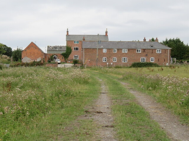
Image: © John S Turner Taken: 7 Aug 2018
Looking north along Wat's Dyke Way towards Middle Sontley Farm. There is an Ordnance Survey benchmark on the left of the nearest building: Image
Images are licensed for reuse under creativecommons.org/licenses/by-sa/2.0
Image Location
Latitude
53.013952
Longitude
-3.01059