Benchmark on Middle Sontley Farm barn conversion
Introduction
The photograph on this page of Benchmark on Middle Sontley Farm barn conversion by John S Turner as part of the Geograph project.
The Geograph project started in 2005 with the aim of publishing, organising and preserving representative images for every square kilometre of Great Britain, Ireland and the Isle of Man.

There are currently over 7.5m images from over 14,400 individuals and you can help contribute to the project by visiting https://www.geograph.org.uk
Benchmark on Middle Sontley Farm barn conversion
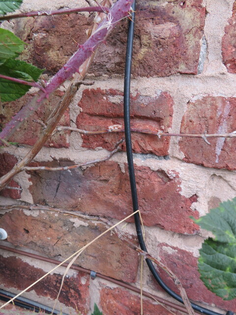
Image: © John S Turner Taken: 7 Aug 2018
Ordnance Survey benchmark on Middle Sontley Farm barn conversion. Wat's Dyke Way passes the farm via a minor road. For a view of the farm see: Image Benchmark database: https://www.bench-marks.org.uk/bm197140
Images are licensed for reuse under creativecommons.org/licenses/by-sa/2.0
Image Location
Latitude
53.013951
Longitude
-3.01062