Old Direction Sign - Signpost near the Travellers Rest
Introduction
The photograph on this page of Old Direction Sign - Signpost near the Travellers Rest by J Dowding as part of the Geograph project.
The Geograph project started in 2005 with the aim of publishing, organising and preserving representative images for every square kilometre of Great Britain, Ireland and the Isle of Man.

There are currently over 7.5m images from over 14,400 individuals and you can help contribute to the project by visiting https://www.geograph.org.uk
Old Direction Sign - Signpost near the Travellers Rest
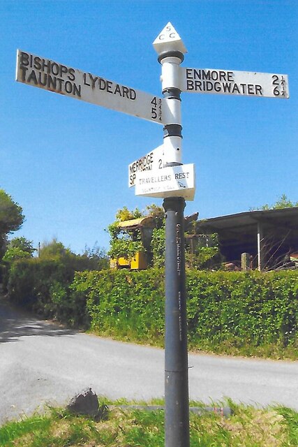
Image: © J Dowding Taken: 20 May 2023
Located close to the Travellers Rest public house, in the centre of the T junction of Merridge Hill and Enmore Lane. On the boundary of Broomfield and Spaxton parishes. 3 arms and pyramid finial. See https://www.geograph.org.uk/photo/6045235 for an older photo and https://www.geograph.org.uk/photo/5113858. Milestone Society National ID: SO_ST2133
Images are licensed for reuse under creativecommons.org/licenses/by-sa/2.0
Image Location
Latitude
51.094496
Longitude
-3.128925