A glimpse into Elmdon Coppice
Introduction
The photograph on this page of A glimpse into Elmdon Coppice by Richard Law as part of the Geograph project.
The Geograph project started in 2005 with the aim of publishing, organising and preserving representative images for every square kilometre of Great Britain, Ireland and the Isle of Man.

There are currently over 7.5m images from over 14,400 individuals and you can help contribute to the project by visiting https://www.geograph.org.uk
A glimpse into Elmdon Coppice
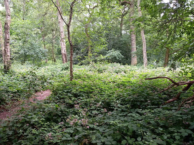
Image: © Richard Law Taken: 29 Jun 2023
A patch of ancient woodland, once a working coppice wood, which has survived the developments of housing and industry all around remarkably intact. The adjoining Hampton Coppice a little way to the east has done even better - it's actually larger now than shown on the map of the late 1930s.
Images are licensed for reuse under creativecommons.org/licenses/by-sa/2.0
Image Location
Latitude
52.433027
Longitude
-1.756237