Road winding towards Lower Height
Introduction
The photograph on this page of Road winding towards Lower Height by Trevor Littlewood as part of the Geograph project.
The Geograph project started in 2005 with the aim of publishing, organising and preserving representative images for every square kilometre of Great Britain, Ireland and the Isle of Man.

There are currently over 7.5m images from over 14,400 individuals and you can help contribute to the project by visiting https://www.geograph.org.uk
Road winding towards Lower Height
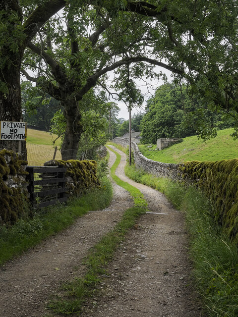
Image: © Trevor Littlewood Taken: 8 Jul 2023
High Laithe is also served by the road which as the rather obtrusive and crudely made notice tells us, is private.
Images are licensed for reuse under creativecommons.org/licenses/by-sa/2.0
Image Location
Latitude
54.069767
Longitude
-2.043667