Parsonage Lane, Brighouse
Introduction
The photograph on this page of Parsonage Lane, Brighouse by Humphrey Bolton as part of the Geograph project.
The Geograph project started in 2005 with the aim of publishing, organising and preserving representative images for every square kilometre of Great Britain, Ireland and the Isle of Man.

There are currently over 7.5m images from over 14,400 individuals and you can help contribute to the project by visiting https://www.geograph.org.uk
Parsonage Lane, Brighouse
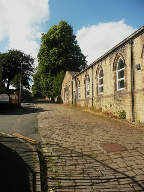
Image: © Humphrey Bolton Taken: 3 Jul 2023
This passes the back of the old school, the secondary modern school at one time but now houses pre-school daycare and a play gym. I took this photo when I noticed how tall the lime tree, which is in the churchyard, is.
Images are licensed for reuse under creativecommons.org/licenses/by-sa/2.0
Image Location
Latitude
53.703597
Longitude
-1.784106