Stafford Park 4
Introduction
The photograph on this page of Stafford Park 4 by Richard Law as part of the Geograph project.
The Geograph project started in 2005 with the aim of publishing, organising and preserving representative images for every square kilometre of Great Britain, Ireland and the Isle of Man.

There are currently over 7.5m images from over 14,400 individuals and you can help contribute to the project by visiting https://www.geograph.org.uk
Stafford Park 4
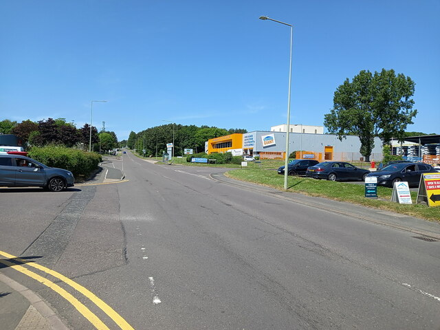
Image: © Richard Law Taken: 3 Jun 2023
The road called Stafford Park 4, seen here, constitutes the main access through the middle of the extensive Stafford Park industrial estate. It is named in memory of the Stafford Colliery, coal & ironstone workings, the main parts of which were just a little to the north of where the orange and grey units now sit. Owned by the local Lilleshall Company, it operated for roughly 60-70 years or so, between 1875 and the 1940s. The area was landscaped and redeveloped from the 1960s onwards as part of Telford New Town
Images are licensed for reuse under creativecommons.org/licenses/by-sa/2.0
Image Location
Latitude
52.676504
Longitude
-2.423398