Chester Road West, Shotton
Introduction
The photograph on this page of Chester Road West, Shotton by Stephen McKay as part of the Geograph project.
The Geograph project started in 2005 with the aim of publishing, organising and preserving representative images for every square kilometre of Great Britain, Ireland and the Isle of Man.

There are currently over 7.5m images from over 14,400 individuals and you can help contribute to the project by visiting https://www.geograph.org.uk
Chester Road West, Shotton
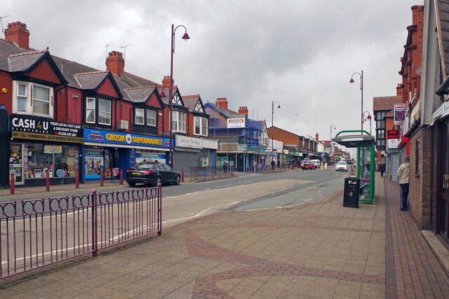
Image: © Stephen McKay Taken: 11 Jul 2023
This is in effect Shotton's high street with a collection of generally rather lacklustre shops. It is a stretch of the B5129, formerly the A548. Shotton is an ancient Anglo-Saxon name meaning 'farmstead in a clearing' and there is no official Welshified version.
Images are licensed for reuse under creativecommons.org/licenses/by-sa/2.0
Image Location
Latitude
53.212434
Longitude
-3.040219