The Old School, Brayton
Introduction
The photograph on this page of The Old School, Brayton by Paul Glazzard as part of the Geograph project.
The Geograph project started in 2005 with the aim of publishing, organising and preserving representative images for every square kilometre of Great Britain, Ireland and the Isle of Man.

There are currently over 7.5m images from over 14,400 individuals and you can help contribute to the project by visiting https://www.geograph.org.uk
The Old School, Brayton
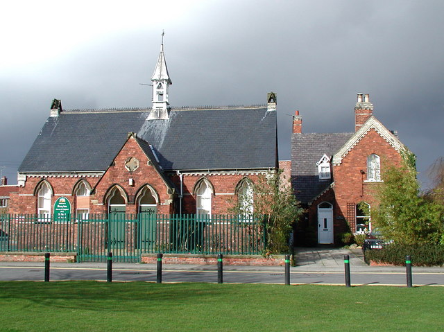
Image: © Paul Glazzard Taken: 5 Apr 2008
Brayton School (now Brayton Church of England Infant School) with the School House on the right, which were both built on the village green in 1872.
Images are licensed for reuse under creativecommons.org/licenses/by-sa/2.0
Image Location
Latitude
53.768103
Longitude
-1.089085