South Street, Ropley
Introduction
The photograph on this page of South Street, Ropley by Des Blenkinsopp as part of the Geograph project.
The Geograph project started in 2005 with the aim of publishing, organising and preserving representative images for every square kilometre of Great Britain, Ireland and the Isle of Man.

There are currently over 7.5m images from over 14,400 individuals and you can help contribute to the project by visiting https://www.geograph.org.uk
South Street, Ropley
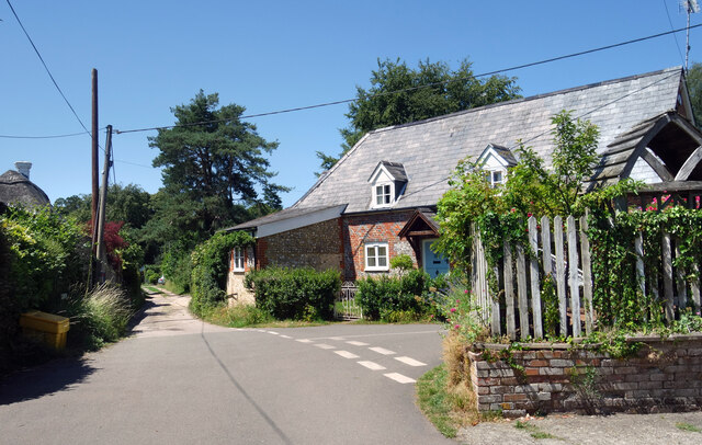
Image: © Des Blenkinsopp Taken: 7 Jul 2023
South Street continues ahead as a track to a few more houses, with Hammonds Lane heading off to the right as a surfaced road.
Images are licensed for reuse under creativecommons.org/licenses/by-sa/2.0
Image Location
Latitude
51.080776
Longitude
-1.085877