Friars Cottage
Introduction
The photograph on this page of Friars Cottage by David M Clark as part of the Geograph project.
The Geograph project started in 2005 with the aim of publishing, organising and preserving representative images for every square kilometre of Great Britain, Ireland and the Isle of Man.

There are currently over 7.5m images from over 14,400 individuals and you can help contribute to the project by visiting https://www.geograph.org.uk
Friars Cottage
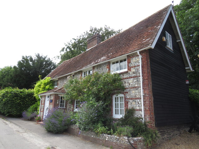
Image: © David M Clark Taken: 10 Jul 2023
Wisteria-clad brick and flint cottage provides the classic entrance to the village from the paths off the South Downs Way.
Images are licensed for reuse under creativecommons.org/licenses/by-sa/2.0
Image Location
Latitude
50.855432
Longitude
-0.025569