The A404, Marlow
Introduction
The photograph on this page of The A404, Marlow by Andrew Smith as part of the Geograph project.
The Geograph project started in 2005 with the aim of publishing, organising and preserving representative images for every square kilometre of Great Britain, Ireland and the Isle of Man.

There are currently over 7.5m images from over 14,400 individuals and you can help contribute to the project by visiting https://www.geograph.org.uk
The A404, Marlow
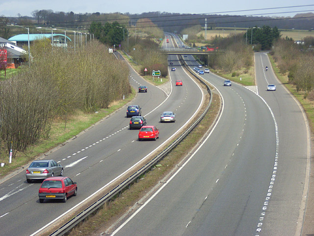
Image: © Andrew Smith Taken: 29 Mar 2008
The town's bypass and the main junction for accessing it as viewed from a footbridge to the south. The road begins a long climb up to the southern edge of Wycombe.
Images are licensed for reuse under creativecommons.org/licenses/by-sa/2.0
Image Location
Latitude
51.580679
Longitude
-0.757365