Road Diversion, Llanddewi Velfry
Introduction
The photograph on this page of Road Diversion, Llanddewi Velfry by Paul Collins as part of the Geograph project.
The Geograph project started in 2005 with the aim of publishing, organising and preserving representative images for every square kilometre of Great Britain, Ireland and the Isle of Man.

There are currently over 7.5m images from over 14,400 individuals and you can help contribute to the project by visiting https://www.geograph.org.uk
Road Diversion, Llanddewi Velfry
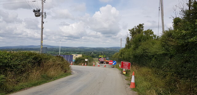
Image: © Paul Collins Taken: 6 Jul 2023
At the time of photographing the lane north out of the village was not closed, but merely diverted around and across the construction site of the village bypass, which will be around two kilometres long.
Images are licensed for reuse under creativecommons.org/licenses/by-sa/2.0
Image Location
Latitude
51.822378
Longitude
-4.688656