Public footpath in woodland to the west of Litchard
Introduction
The photograph on this page of Public footpath in woodland to the west of Litchard by eswales as part of the Geograph project.
The Geograph project started in 2005 with the aim of publishing, organising and preserving representative images for every square kilometre of Great Britain, Ireland and the Isle of Man.

There are currently over 7.5m images from over 14,400 individuals and you can help contribute to the project by visiting https://www.geograph.org.uk
Public footpath in woodland to the west of Litchard
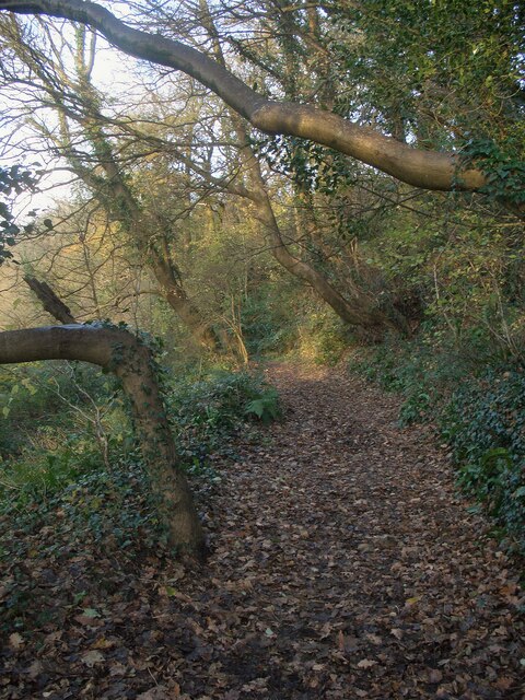
Image: © eswales Taken: 1 Nov 2022
This path branches off from National Cycle Network Route 885 at the northern edge of Bridgend. At that point it is narrow, lacking in signage and has all the appearance of a very minor path. (It can be seen at its junction with the cycle path in Image] through the wooden fencing in the right half of the image.) The path broadens further along, and turns out to offer a pleasant woodland walk.
Images are licensed for reuse under creativecommons.org/licenses/by-sa/2.0
Image Location
Latitude
51.524091
Longitude
-3.580753