Gated entrance to Hawber's Farm, Burton Leonard
Introduction
The photograph on this page of Gated entrance to Hawber's Farm, Burton Leonard by Mel Towler as part of the Geograph project.
The Geograph project started in 2005 with the aim of publishing, organising and preserving representative images for every square kilometre of Great Britain, Ireland and the Isle of Man.

There are currently over 7.5m images from over 14,400 individuals and you can help contribute to the project by visiting https://www.geograph.org.uk
Gated entrance to Hawber's Farm, Burton Leonard
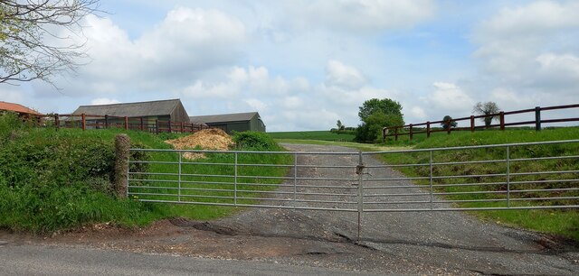
Image: © Mel Towler Taken: 6 May 2023
According to the 1909 OS map there was a benchmark cut into a gatepost at the entrance on the north side of Copgrove Road in Burton Leonard. The benchmark has not survived.
Images are licensed for reuse under creativecommons.org/licenses/by-sa/2.0
Image Location


Leaflet Map data © OpenStreetMap
Latitude
54.06712
Longitude
-1.500008