Looking at the top end of Ilges lane
Introduction
The photograph on this page of Looking at the top end of Ilges lane by Bill Nicholls as part of the Geograph project.
The Geograph project started in 2005 with the aim of publishing, organising and preserving representative images for every square kilometre of Great Britain, Ireland and the Isle of Man.

There are currently over 7.5m images from over 14,400 individuals and you can help contribute to the project by visiting https://www.geograph.org.uk
Looking at the top end of Ilges lane
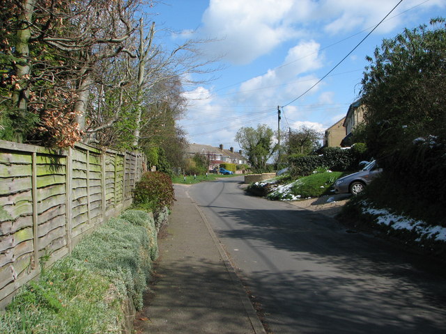
Image: © Bill Nicholls Taken: 6 Apr 2008
This is the top end of Ilges Lane, the houses on the left hand side were built in the 1960s on part of the allotments that were sold off to fund the new pavilion after the old one was burnt down. Recently the council tried to do this again by selling off the rest to fund the building of a new one due to the last one that was built being burned down. The villagers fought against this and won and stopped them selling off any more of the village allotments. Saying that, there are some at the bottom of the Wallingford road that have not been used in years.
Images are licensed for reuse under creativecommons.org/licenses/by-sa/2.0
Image Location


Leaflet Map data © OpenStreetMap
Latitude
51.574443
Longitude
-1.146574