Parish boundary stone next to Championship Way
Introduction
The photograph on this page of Parish boundary stone next to Championship Way by Ian Calderwood as part of the Geograph project.
The Geograph project started in 2005 with the aim of publishing, organising and preserving representative images for every square kilometre of Great Britain, Ireland and the Isle of Man.

There are currently over 7.5m images from over 14,400 individuals and you can help contribute to the project by visiting https://www.geograph.org.uk
Parish boundary stone next to Championship Way
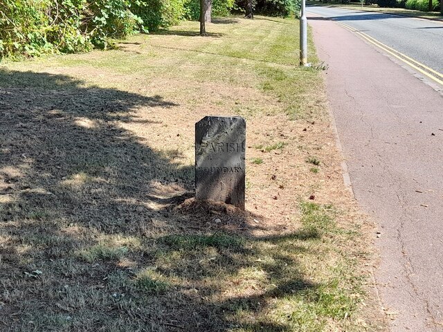
Image: © Ian Calderwood Taken: 7 Jul 2023
A boundary stone is marked here on 19th century maps. The roads have been remodelled somewhat since then and the stone may have been re-sited but it is still on or close to its original position.
Images are licensed for reuse under creativecommons.org/licenses/by-sa/2.0
Image Location
Latitude
52.656441
Longitude
-1.19219