47 Roman Road
Introduction
The photograph on this page of 47 Roman Road by Ian Capper as part of the Geograph project.
The Geograph project started in 2005 with the aim of publishing, organising and preserving representative images for every square kilometre of Great Britain, Ireland and the Isle of Man.

There are currently over 7.5m images from over 14,400 individuals and you can help contribute to the project by visiting https://www.geograph.org.uk
47 Roman Road
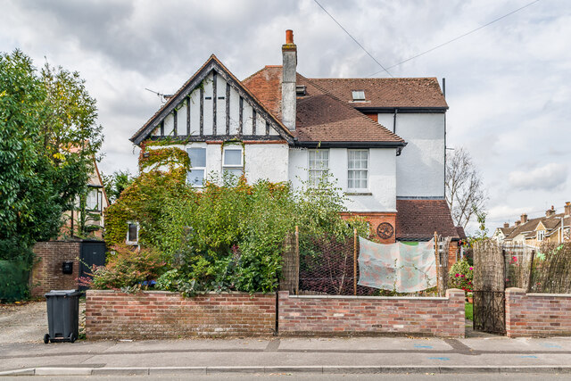
Image: © Ian Capper Taken: 22 Sep 2022
House on Roman Road and Queen Alexandra Road first marked on the 1925 25 inch map - from its appearance, it would seem to be Edwardian.
Images are licensed for reuse under creativecommons.org/licenses/by-sa/2.0
Image Location
Latitude
51.077844
Longitude
-1.820417