Looking 'up' (towards Totton) from Marchwood level crossing
Introduction
The photograph on this page of Looking 'up' (towards Totton) from Marchwood level crossing by John Lucas as part of the Geograph project.
The Geograph project started in 2005 with the aim of publishing, organising and preserving representative images for every square kilometre of Great Britain, Ireland and the Isle of Man.

There are currently over 7.5m images from over 14,400 individuals and you can help contribute to the project by visiting https://www.geograph.org.uk
Looking 'up' (towards Totton) from Marchwood level crossing
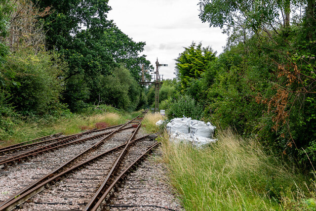
Image: © John Lucas Taken: 4 Jul 2023
The spur branching to the right is a catch line ending in a sand trap, presumably to catch runaway oil trains in the days that they were running. There is also a catch point on the loop line.
Images are licensed for reuse under creativecommons.org/licenses/by-sa/2.0
Image Location
Latitude
50.889481
Longitude
-1.456715