The Royal Oak
Introduction
The photograph on this page of The Royal Oak by Ian Capper as part of the Geograph project.
The Geograph project started in 2005 with the aim of publishing, organising and preserving representative images for every square kilometre of Great Britain, Ireland and the Isle of Man.

There are currently over 7.5m images from over 14,400 individuals and you can help contribute to the project by visiting https://www.geograph.org.uk
The Royal Oak
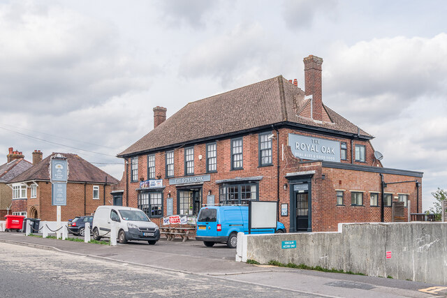
Image: © Ian Capper Taken: 22 Sep 2022
Pub on Devizes Road built in 1939. The 1938 25 inch map shows much of this part of Devizes Road developed, but not a short section here.
Images are licensed for reuse under creativecommons.org/licenses/by-sa/2.0
Image Location
Latitude
51.083139
Longitude
-1.819711