Lockyer Court, Lockyer Street facade
Introduction
The photograph on this page of Lockyer Court, Lockyer Street facade by Alan Murray-Rust as part of the Geograph project.
The Geograph project started in 2005 with the aim of publishing, organising and preserving representative images for every square kilometre of Great Britain, Ireland and the Isle of Man.

There are currently over 7.5m images from over 14,400 individuals and you can help contribute to the project by visiting https://www.geograph.org.uk
Lockyer Court, Lockyer Street facade
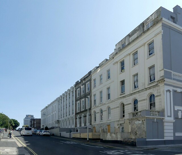
Image: © Alan Murray-Rust Taken: 29 Jun 2023
Lockyer Court comprises the first two villas on the right, at some stage converted to an orphanage, later hospital. Listed Grade II. The terrace was originally complete but largely destroyed in the blitz of 1941. part of an important planned group of terraces and villas by Foulston and his pupil Wightwick on the Hoe, a scheme which placed Plymouth in the forefront of town planning in the early/mid C19.
Images are licensed for reuse under creativecommons.org/licenses/by-sa/2.0
Image Location
Latitude
50.368099
Longitude
-4.144007