Brownfield site
Introduction
The photograph on this page of Brownfield site by Richard Sutcliffe as part of the Geograph project.
The Geograph project started in 2005 with the aim of publishing, organising and preserving representative images for every square kilometre of Great Britain, Ireland and the Isle of Man.

There are currently over 7.5m images from over 14,400 individuals and you can help contribute to the project by visiting https://www.geograph.org.uk
Brownfield site
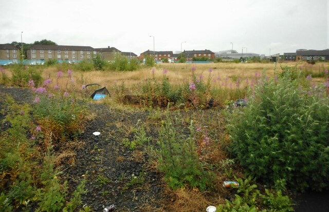
Image: © Richard Sutcliffe Taken: 28 Jun 2023
Between Garvald Street, Baltic Street, Springfield Road and Sunnybank Street. There was the Springfield Centre and a row of tenements with shops along the Springfield Road side until about 2011. These were demolished and the site had temporary structures erected on it for the 2014 Commonwealth Games. It has been left undeveloped since then.
Images are licensed for reuse under creativecommons.org/licenses/by-sa/2.0
Image Location
Latitude
55.841174
Longitude
-4.213344