Cycle path following route of former railway
Introduction
The photograph on this page of Cycle path following route of former railway by Kevin Waterhouse as part of the Geograph project.
The Geograph project started in 2005 with the aim of publishing, organising and preserving representative images for every square kilometre of Great Britain, Ireland and the Isle of Man.

There are currently over 7.5m images from over 14,400 individuals and you can help contribute to the project by visiting https://www.geograph.org.uk
Cycle path following route of former railway
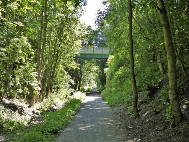
Image: © Kevin Waterhouse Taken: 14 Jun 2023
Approaching a high level footbridge that is the only link between two housing estates bisected by the former Hart to Haswell railway route
Images are licensed for reuse under creativecommons.org/licenses/by-sa/2.0
Image Location
Latitude
54.761325
Longitude
-1.390637