Pike House, A429, Bourton on the Water
Introduction
The photograph on this page of Pike House, A429, Bourton on the Water by Mr Red as part of the Geograph project.
The Geograph project started in 2005 with the aim of publishing, organising and preserving representative images for every square kilometre of Great Britain, Ireland and the Isle of Man.

There are currently over 7.5m images from over 14,400 individuals and you can help contribute to the project by visiting https://www.geograph.org.uk
Pike House, A429, Bourton on the Water
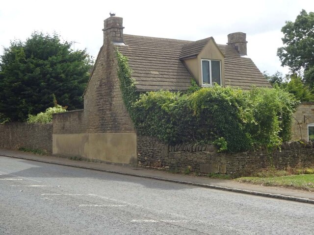
Image: © Mr Red Taken: 6 Jul 2023
A former Toll House on the Fosse Way (A429) near the villages of Upper & Lower Slaughter. It served the Foss & Cross Turnpike Trust in the 19ᵗʰ C. Milestone Society National ID: GL.LOW
Images are licensed for reuse under creativecommons.org/licenses/by-sa/2.0
Image Location
Latitude
51.899717
Longitude
-1.749902