Lane to Little Durnford
Introduction
The photograph on this page of Lane to Little Durnford by Ian Capper as part of the Geograph project.
The Geograph project started in 2005 with the aim of publishing, organising and preserving representative images for every square kilometre of Great Britain, Ireland and the Isle of Man.

There are currently over 7.5m images from over 14,400 individuals and you can help contribute to the project by visiting https://www.geograph.org.uk
Lane to Little Durnford
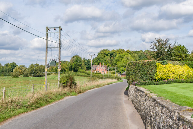
Image: © Ian Capper Taken: 22 Sep 2022
Lane leading out of Stratford sub Castle leading to the next village up the River Avon, Little Durnford.
Images are licensed for reuse under creativecommons.org/licenses/by-sa/2.0
Image Location
Latitude
51.09682
Longitude
-1.816345