Turf Street and Honey Street
Introduction
The photograph on this page of Turf Street and Honey Street by Tony Atkin as part of the Geograph project.
The Geograph project started in 2005 with the aim of publishing, organising and preserving representative images for every square kilometre of Great Britain, Ireland and the Isle of Man.

There are currently over 7.5m images from over 14,400 individuals and you can help contribute to the project by visiting https://www.geograph.org.uk
Turf Street and Honey Street
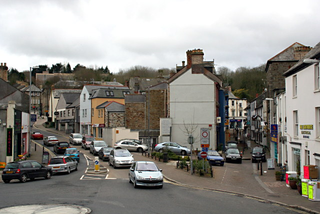
Image: © Tony Atkin Taken: 5 Apr 2008
Turf street is the one on the left with all the cars and Honey Street is the narrow pedestrianised street on the right - which also has cars. The photograph was taken from the steps in front of St Petroc's church.
Images are licensed for reuse under creativecommons.org/licenses/by-sa/2.0
Image Location
Latitude
50.470869
Longitude
-4.718032