New Dover Road, Capel-le-Ferne
Introduction
The photograph on this page of New Dover Road, Capel-le-Ferne by Stephen McKay as part of the Geograph project.
The Geograph project started in 2005 with the aim of publishing, organising and preserving representative images for every square kilometre of Great Britain, Ireland and the Isle of Man.

There are currently over 7.5m images from over 14,400 individuals and you can help contribute to the project by visiting https://www.geograph.org.uk
New Dover Road, Capel-le-Ferne
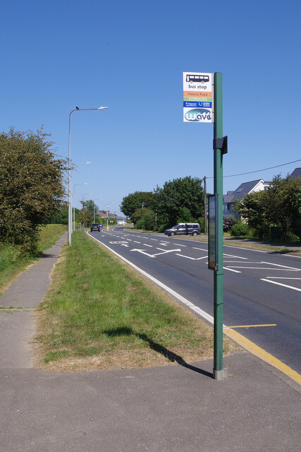
Image: © Stephen McKay Taken: 16 Jun 2023
What is now the B2011 was formerly the A20 but that now follows a completely new fast route avoiding Capel-le-Ferne. In fact the road here was originally built as a by-pass for the village in 1929. The bus stop is served by frequent buses running to Dover from Folkestone.
Images are licensed for reuse under creativecommons.org/licenses/by-sa/2.0
Image Location
Latitude
51.103013
Longitude
1.217664