Footpath to Wine House Lane
Introduction
The photograph on this page of Footpath to Wine House Lane by Stephen McKay as part of the Geograph project.
The Geograph project started in 2005 with the aim of publishing, organising and preserving representative images for every square kilometre of Great Britain, Ireland and the Isle of Man.

There are currently over 7.5m images from over 14,400 individuals and you can help contribute to the project by visiting https://www.geograph.org.uk
Footpath to Wine House Lane
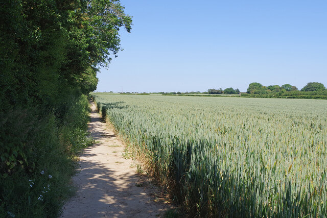
Image: © Stephen McKay Taken: 16 Jun 2023
The footpath runs along the edge of a ripening wheat field to the north of Capel-le-Ferne village.
Images are licensed for reuse under creativecommons.org/licenses/by-sa/2.0
Image Location


Leaflet Map data © OpenStreetMap
Latitude
51.106678
Longitude
1.215204