Road near Drummoddie
Introduction
The photograph on this page of Road near Drummoddie by David Baird as part of the Geograph project.
The Geograph project started in 2005 with the aim of publishing, organising and preserving representative images for every square kilometre of Great Britain, Ireland and the Isle of Man.

There are currently over 7.5m images from over 14,400 individuals and you can help contribute to the project by visiting https://www.geograph.org.uk
Road near Drummoddie
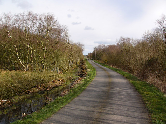
Image: © David Baird Taken: 6 Apr 2008
The public road here cuts across the western end of Drummoddie Moss, planted with conifers which are currently being felled.
Images are licensed for reuse under creativecommons.org/licenses/by-sa/2.0
Image Location
Latitude
54.780814
Longitude
-4.506351