Ings Lane, looking east
Introduction
The photograph on this page of Ings Lane, looking east by Gordon Hatton as part of the Geograph project.
The Geograph project started in 2005 with the aim of publishing, organising and preserving representative images for every square kilometre of Great Britain, Ireland and the Isle of Man.

There are currently over 7.5m images from over 14,400 individuals and you can help contribute to the project by visiting https://www.geograph.org.uk
Ings Lane, looking east
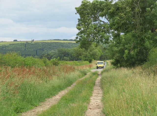
Image: © Gordon Hatton Taken: 5 Jul 2023
Looking along the lane from the bridleway to where the tarmac begins, with a delivery van heading for Grange Farm. In the distance is the scarp slope of the Wolds.
Images are licensed for reuse under creativecommons.org/licenses/by-sa/2.0
Image Location
Latitude
53.985879
Longitude
-0.819587