The Trent below Clifton Grove
Introduction
The photograph on this page of The Trent below Clifton Grove by Tim Heaton as part of the Geograph project.
The Geograph project started in 2005 with the aim of publishing, organising and preserving representative images for every square kilometre of Great Britain, Ireland and the Isle of Man.

There are currently over 7.5m images from over 14,400 individuals and you can help contribute to the project by visiting https://www.geograph.org.uk
The Trent below Clifton Grove
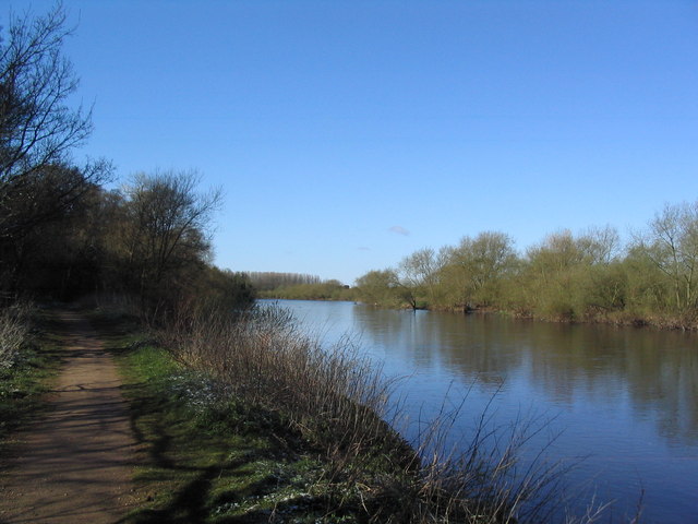
Image: © Tim Heaton Taken: 6 Apr 2008
Plans with Sustrans for building a pedestrian and cycle bridge over the Trent, connecting Clifton and Beeston near this stretch of the river, have not been successful.
Images are licensed for reuse under creativecommons.org/licenses/by-sa/2.0
Image Location


Leaflet Map data © OpenStreetMap
Latitude
52.912026
Longitude
-1.193244