Maryhill Locks flats and canal
Introduction
The photograph on this page of Maryhill Locks flats and canal by Alec MacKinnon as part of the Geograph project.
The Geograph project started in 2005 with the aim of publishing, organising and preserving representative images for every square kilometre of Great Britain, Ireland and the Isle of Man.

There are currently over 7.5m images from over 14,400 individuals and you can help contribute to the project by visiting https://www.geograph.org.uk
Maryhill Locks flats and canal
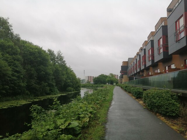
Image: © Alec MacKinnon Taken: 27 Jun 2023
We look along the canal as it passes the new block of flats known as Maryhill Locks - more background at Image, which additionally shows them in more benign weather
Images are licensed for reuse under creativecommons.org/licenses/by-sa/2.0
Image Location
Latitude
55.89145
Longitude
-4.294733