Mapledurwell
Introduction
The photograph on this page of Mapledurwell by Brendan and Ruth McCartney as part of the Geograph project.
The Geograph project started in 2005 with the aim of publishing, organising and preserving representative images for every square kilometre of Great Britain, Ireland and the Isle of Man.

There are currently over 7.5m images from over 14,400 individuals and you can help contribute to the project by visiting https://www.geograph.org.uk
Mapledurwell
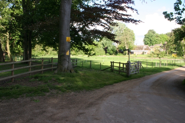
Image: © Brendan and Ruth McCartney Taken: 7 May 2005
From the track off the minor road, in the west of the square, looking towards Huish House. The square is woodland and farmland.
Images are licensed for reuse under creativecommons.org/licenses/by-sa/2.0
Image Location


Leaflet Map data © OpenStreetMap
Latitude
51.258734
Longitude
-1.041222