The River Ogmore at the western edge of Bridgend
Introduction
The photograph on this page of The River Ogmore at the western edge of Bridgend by eswales as part of the Geograph project.
The Geograph project started in 2005 with the aim of publishing, organising and preserving representative images for every square kilometre of Great Britain, Ireland and the Isle of Man.

There are currently over 7.5m images from over 14,400 individuals and you can help contribute to the project by visiting https://www.geograph.org.uk
The River Ogmore at the western edge of Bridgend
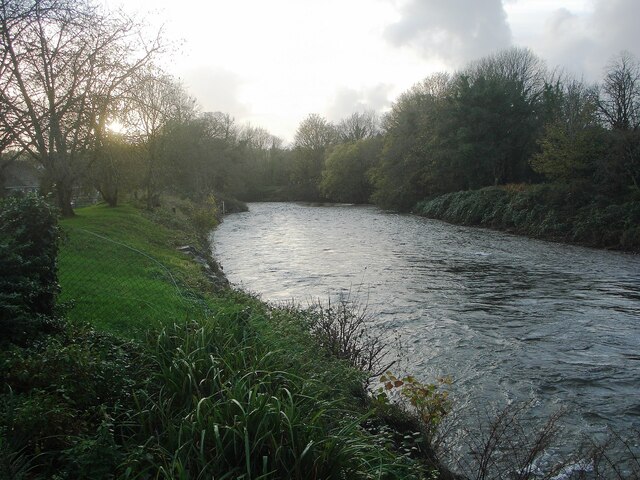
Image: © eswales Taken: 1 Nov 2022
A view downstream from a spot beside National Cycle Route 885 just as it reaches the fringes of the town from the north. The stretch of the river seen in the image lies immediately downstream of the one seen in Image
Images are licensed for reuse under creativecommons.org/licenses/by-sa/2.0
Image Location
Latitude
51.523066
Longitude
-3.583456