A route through The Tips
Introduction
The photograph on this page of A route through The Tips by Neil Owen as part of the Geograph project.
The Geograph project started in 2005 with the aim of publishing, organising and preserving representative images for every square kilometre of Great Britain, Ireland and the Isle of Man.

There are currently over 7.5m images from over 14,400 individuals and you can help contribute to the project by visiting https://www.geograph.org.uk
A route through The Tips
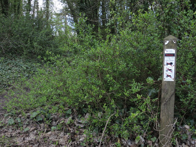
Image: © Neil Owen Taken: 25 Apr 2023
A wooded area enclosed by the roads and the railway has not officially been opened for public use, but the signs clearly prohibit motor vehicles.
Images are licensed for reuse under creativecommons.org/licenses/by-sa/2.0
Image Location
Latitude
51.321432
Longitude
-2.966443