The Old Corn Mill, Glusburn
Introduction
The photograph on this page of The Old Corn Mill, Glusburn by Des Blenkinsopp as part of the Geograph project.
The Geograph project started in 2005 with the aim of publishing, organising and preserving representative images for every square kilometre of Great Britain, Ireland and the Isle of Man.

There are currently over 7.5m images from over 14,400 individuals and you can help contribute to the project by visiting https://www.geograph.org.uk
The Old Corn Mill, Glusburn
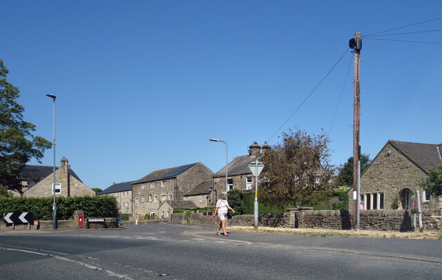
Image: © Des Blenkinsopp Taken: 15 Jun 2023
Now the name of a short residential street. The Mill would be the three storey building left of centre, with new properties built around it.
Images are licensed for reuse under creativecommons.org/licenses/by-sa/2.0
Image Location
Latitude
53.89802
Longitude
-2.008942