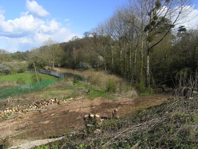
Line of Droitwich Barge Canal
Introduction
The photograph on this page of Line of Droitwich Barge Canal by Chris Allen as part of the Geograph project.
The Geograph project started in 2005 with the aim of publishing, organising and preserving representative images for every square kilometre of Great Britain, Ireland and the Isle of Man.
There are currently over 7.5m images from over 14,400 individuals and you can help contribute to the project by visiting https://www.geograph.org.uk

Image: © Chris Allen Taken: 6 Apr 2008
From the verge of the A449 looking at the canal coming from Droitwich. The line of reeds denotes the line of the canal and it dives into a narrow culvert just below the fence by the nearest tall tree. The embankment has been cleared, presumably, ahead of the forthcoming work to restore the canal to a navigable state for vessels bigger than a toy submarine.

