The Kings Head, Bradford Street, Bocking, 2013
Introduction
The photograph on this page of The Kings Head, Bradford Street, Bocking, 2013 by Robin Webster as part of the Geograph project.
The Geograph project started in 2005 with the aim of publishing, organising and preserving representative images for every square kilometre of Great Britain, Ireland and the Isle of Man.

There are currently over 7.5m images from over 14,400 individuals and you can help contribute to the project by visiting https://www.geograph.org.uk
The Kings Head, Bradford Street, Bocking, 2013
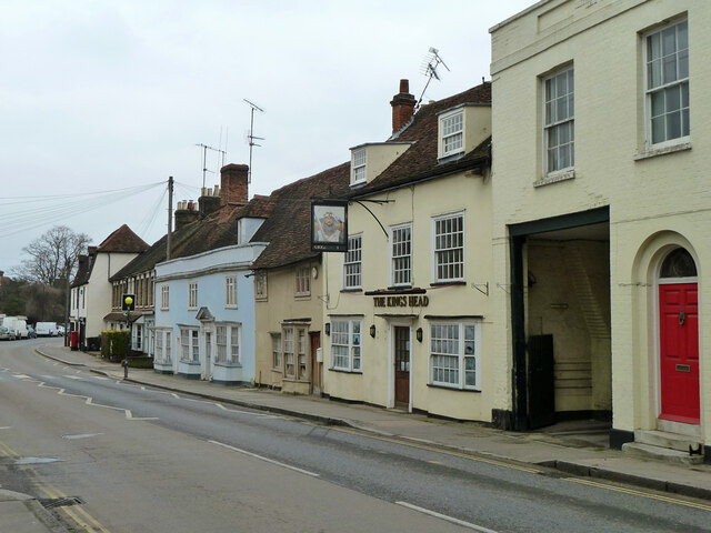
Image: © Robin Webster Taken: 19 Mar 2013
Apparently closed, whiting is on the windows. It suffered a residential conversion later. 17th century with 18th century refronting, a grade II listed building.
Images are licensed for reuse under creativecommons.org/licenses/by-sa/2.0
Image Location
Latitude
51.886667
Longitude
0.556702