Local map of Bangor-on-Dee/Bangor-is-y-Coed
Introduction
The photograph on this page of Local map of Bangor-on-Dee/Bangor-is-y-Coed by Oliver Dixon as part of the Geograph project.
The Geograph project started in 2005 with the aim of publishing, organising and preserving representative images for every square kilometre of Great Britain, Ireland and the Isle of Man.

There are currently over 7.5m images from over 14,400 individuals and you can help contribute to the project by visiting https://www.geograph.org.uk
Local map of Bangor-on-Dee/Bangor-is-y-Coed
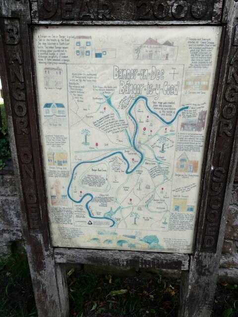
Image: © Oliver Dixon Taken: 29 Jun 2023
Posted on the wall of the churchyard, this map was compiled from the drawings, memories and records of the people of the area.
Images are licensed for reuse under creativecommons.org/licenses/by-sa/2.0
Image Location
Latitude
53.002862
Longitude
-2.91238